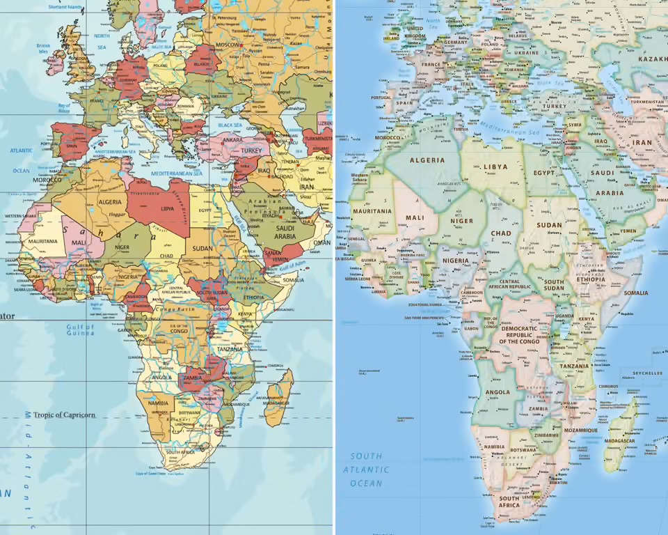
The United Nations General Assembly has adopted a resolution supporting the use of a new world map that more accurately represents the size of Africa and other regions.
The resolution, backed by 164 countries, calls for greater use of the Equal Earth projection, which was developed in 2018 as an equal-area alternative to the centuries-old Mercator map. The United States was the only country to vote against it, while six countries abstained.
The move follows a campaign led by Togo on behalf of the African Union under the #CorrectTheMap initiative, which argues that the Mercator projection has long distorted perceptions of Africa’s size.
The Mercator map, introduced by Flemish cartographer Gerardus Mercator in 1569 for navigation, makes countries and regions closer to the poles appear much larger than they are. Africa, for example, appears roughly comparable in size to Greenland, despite being about 14 times larger.
Togo’s Foreign Affairs Minister Robert Dussey said the issue was scientific rather than political, arguing that the world should recognise the geographical reality shown by more accurate maps.
The resolution is not legally binding, meaning countries and institutions will not be required to abandon the Mercator projection. However, supporters expect it could influence maps used in education, technology and public institutions.
The African Union endorsed the #CorrectTheMap campaign in August 2025 and tasked Togo with leading efforts to secure wider adoption of the Equal Earth projection.
France has also backed the move, with Foreign Minister Jean-Noël Barrot saying the country would move away from the Mercator projection in favour of maps that better reflect actual land areas.
France plans to use the Eckert IV projection, which is similar to Equal Earth.
Supporters of the campaign say correcting the map could help challenge long-standing perceptions of Africa and contribute to efforts to decolonise educational materials and global representations of the continent.
Togo is planning a meeting in Lomé next year involving UNESCO, the African Union and technology companies to discuss how the resolution could be implemented.
For African campaigners, the UN vote represents more than a change in cartography. It is part of a broader effort to ensure that Africa’s size, population and global importance are represented more accurately.
As Dussey put it before the vote: “It is time for us to change the narrative.”




Recent Comments